Los Robles Moderate Hike – White Horse Cyn to Los Robles Trail

Los Robles Moderate Hike – White Horse Cyn to Los Robles Trail
Moderate six mile round trip, with a total elevation gain/loss of about 1000 feet. Hike White Horse Canyon Trail from Potrero Road, across the ridge, and loop around (counterclockwise) on Los Robles Trail. Return by way of White Horse Canyon Trail. The trails are rocky in some places, but well cleared. Expect some nice views of the Los Robles trail system, Thousand Oaks, lakes, and mountains.
How to get there: From the 101 freeway, take Westlake Bl. south to Potrero Rd. Turn right (west) on Potrero and go 0.4 mi. Park on south side of the street, east of the bridge. The trailhead is on the north side of the street, west of the bridge.
Map of This Hike
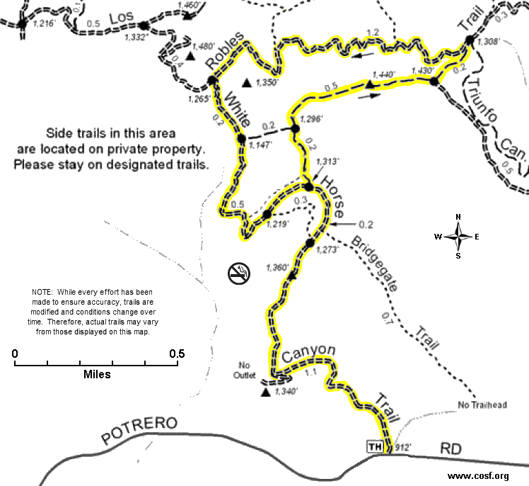
Detailed Hike Description & Photos:
 |
White Horse Canyon Trail begins next to homes on the north side of Potrero Road, just west of the bridge over Potrero Valley Creek. This route is rocky in a lot of places but the footing is mostly good.. The trails are well cleared, and there are very nice views of Westlake, the Conejo Valley, and the nearby mountains, lakes, and open space | |
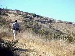 |
Headed north into the open space, the trail gradually and steadily gains elevation. | |
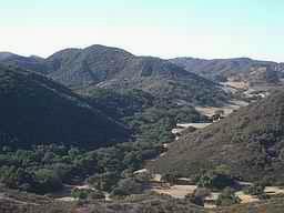 |
Soon the vast open space to the left comes into view. | |
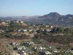 |
To the right is Westlake, and some exclusive homes immediately below. | |
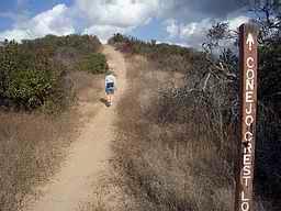 |
Leaving White Horse Canyon trail, the ridge trail turns toward the east as it continues the ascent. | |
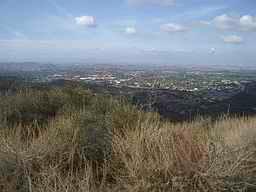 |
From the ridge, Thousand Oaks and Newbury Park are seen to the northwest. | |
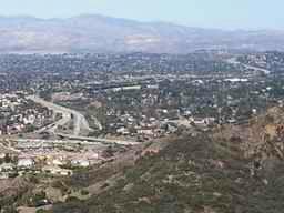 |
The 23 freeway snakes to the north across Thousand Oaks and into the distance. | |
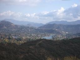 |
Westlake (pictured here) is to the southeast. Further to the south (not shown here) are three more lakes: Las Virgenes Reservoir, Lake Eleanor, and Lake Sherwood. | |
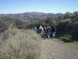 |
The ridge trail terminates at Los Robles Trail. | |
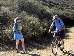 |
Los Robles Trail is a fire/utility road at this point. It is popular with hikers, bikers and equestrians. Now, walking toward the west, there are hills and open space to the left . . . | |
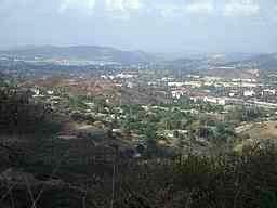 |
. . . and the city of Thousand Oaks is below to the right. | |
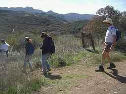 |
White Horse Canyon Trail intersects from the left. It will lead south into the canyon, then curve around and back up toward the ridge. There is a sign at this junction, but it doesn’t indicate that you are turning onto White Horse Canyon Trail. | |
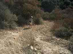 |
Shortly after turning onto White Horse Canyon Trail, there is a brief, fairly steep downhill section with loose gravel. Proceed slowly and carefully. | |
 |
Soon the trail becomes very pleasant as it meanders through a diverse plant community. In this area, except for some power lines, there are no signs of the nearby urban development. | |
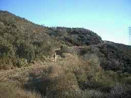 |
Enjoy the great scenery and tranquil surroundings as the trail heads back toward the ridge. | |
 |
White Horse Canyon Trail leads the way back down the hill . . . | |
 |
. . . and returns to the Potrero Road trailhead. |