Lang Ranch & Woodridge Moderate Hike – Lang Ranch Loop
Lang Ranch & Woodridge Moderate Hike – Lang Ranch Loop
Moderate four and a quarter mile loop with an elevation gain/loss of about 750 ft. This hike has some very nice views of Simi Valley and the Lang Ranch Open Space.
How to get there: From Avenida de los Arboles, take Westlake Bl. south to Lang Ranch Parkway. Turn left and go 0.8 mi. The trailhead is on right, just before Lang Ranch Parkway makes a sharp left turn.
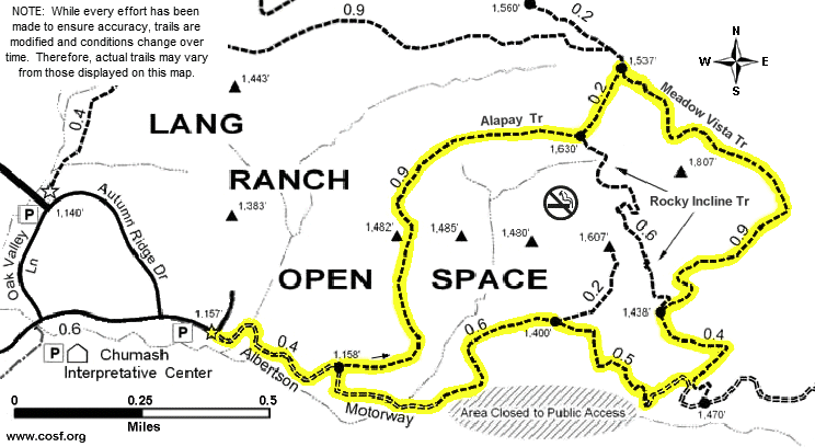
Map of This Hike
Detailed Hike Description & Photos:
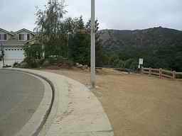 |
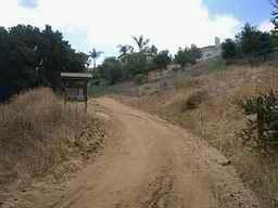
The trailhead is marked by a “Conejo Open Space” sign. Starting down the trail, Chumash Interpretive Center property is to the right, and Lang Ranch Open Space is ahead. | |
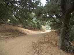 |
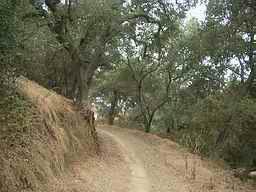
Just moments from the trailhead, the trail passes through one of the few shady areas of the hike. Most of this route, however, is in the direct sunlight. | |
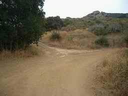 |
After 8 or 10 minutes, turn onto the trail that splits off to the left. | |
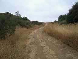 |
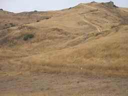
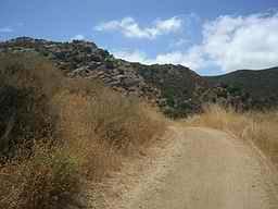
The majority of the elevation gain is in this next mile . . . | |
 |
. . . but it is worth the energy for anyone who enjoys scenic views. This photo is looking back toward the west. | |
 |
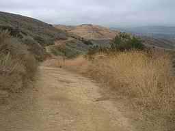
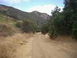
Walking east along the ridge, the trail is fairly level. | |
 |
This is looking off to the northwest, at another trail which our trail will soon intersect. | |
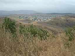 |
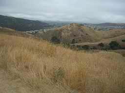
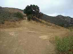
After the intersection and a sharp right turn, there is a gradual ascent for almost a half mile. To the north, there are views of the Wood Ranch area with Simi Valley beyond. | |
 |
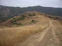
This is from the high-point of this hike, looking back down the trail just traveled. | |
 |
Now, the easy part… Downhill!!! And great scenery too! |
|
 |
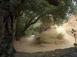
There is a short section of trail through an oak grove at a (usually dry) stream crossing. This is welcome relief on a hot day, and it is in sharp contrast to the dry environment we’ve seen on most of our route. | |
 |
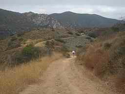
When the trail intersects the utility road (Albertson Motorway), turn right . . . | |
 |
. . . and continue down the hill. | |
 |
The route soon turns onto a “single-track” trail (bypassing a private section of Albertson Motorway). Briefly, we are again walking in the shade of some beautiful oak trees. | |
 |
The trail climbs briefly before descending to rejoin the utility road. | |
 |
Seeing the homes ahead signals that the end of the hike is near. |