Los Robles Strenuous Hike – Los Robles, White Horse Canyon, Los Padres Loop

Los Robles Strenuous Hike – Los Robles, White Horse Canyon, Los Padres Loop
Moderatly strenuous nine mile loop, with a total elevation gain/loss of about 1300 feet. Starting at the Moorpark Rd. trailhead, this hike is actually two big counterclockwise loops covering the eastern portion of Los Robles Trail, the northern end of White Horse Canyon, and Los Padres Trail.
How to get there: From the 101 freeway, go to the south end of Moorpark Rd. Park in the dirt lot at Moorpark Rd. and Greenmeadow Ave.
Map of This Hike

Detailed Hike Description & Photos:
 |
The Los Robles trailhead is at the south end of Moorpark Road. | |
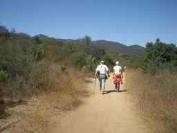 |
Follow the trail west, and watch for a sign pointing to Los Robles Trail East. | |
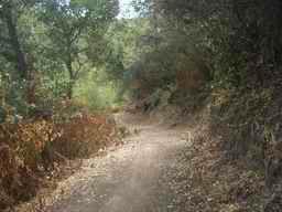 |
About a mile into the hike, the trail begins an ascent on a set of switch-backs. This lovely section of trail winds up the hill through a semi-shaded area. (The amount of shade varies, depending on the time of day, and time of year.) | |
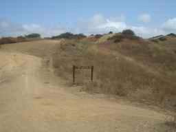 |
Near the top of the hill where the trail splits, there is a choice to make: The path to the right leads down, and through the meadow. Continuing straight ahead leads up to the “scenic overlook” trail. The two trails will merge again after about 1/2 mile. | |
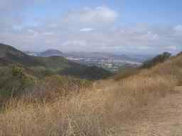 |
From the top of the hill, there are wonderful views of the Los Robles Open Space and of the Conejo Valley. | |
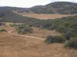 |
This photo of a hiker walking through the meadow, was taken from the overlook trail. | |
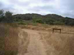 |
The overlook trail re-joins the main trail, and not far ahead . . . | |
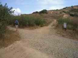 |
. . . is the junction of Los Padres and Los Robles Trails. The return (later in this hike) includes Los Padres Trail, but first, continue up the hill toward White Horse Canyon Trail. | |
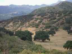 |
From this slightly higher elevation, there are more great views of the open space below. | |
 |
About 2 1/2 miles into the hike, White Horse Canyon Trail intersects from the right. It leads south into the canyon, then loops around to the ridge. The sign at this junction currently does not state “White Horse Canyon Trail” but points to “Lake Sherwood”. | |
 |
On the trails ahead, there are several brief stretches with some loose gravel and rocks. This first one is unpleasant because the gravel and rocks are on a fairly steep downhill section. Go slowly and carefully – it doesn’t last long. | |
 |
Soon the trail becomes very pleasant, as it meanders through a diverse plant community. In this area, except for a few power lines, there are no signs of the nearby urban development. | |
 |
Circling around and up to the ridge, there are great views of the surrounding area. | |
 |
There is seemingly endless open space to the west. | |
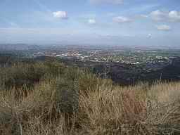 |
Thousand Oaks and Newbury Park are seen to the northwest. | |
 |
The 23 freeway snakes to the north and into the distance. | |
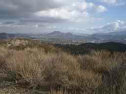 |
There are exclusive homes visible toward the south and southeast, as well as four lakes: Lake Sherwood, Lake Eleanor, Las Virgenes Reservoir, and Westlake. | |
 |
Continuing across the ridge, the trail loops back to Los Robles Trail. | |
 |
Los Robles Trail is a fire/utility road at this point. It is popular with hikers, bikers and equestrians. Walking toward the west, there are hills and open space to the left. | |
 |
The city of Thousand Oaks is below to the right. | |
 |
Continue back down to Los Padres Trail. | |
 |
Los Padres Trail is a fire/utility road for about a half mile, then splits off to the left onto a single track trail (marked by a sign). | |
 |
The trail descends into a very pleasant wooded area. | |
 |
There are several wooden-plank bridges over some minor water channels. Note: after a heavy rain, some sections of the trail can be a bit muddy. | |
 |
Watch for wildlife – lots of squirrels, rabbits, birds, etc.; and, if you’re quiet and lucky, you may see a deer. | |
 |
Finally, the trail leads through a wonderful oak grove. | |
 |
At the end of the trail, turn left onto Los Padres Drive, then left on Moorpark Road. | |
 |
After just a few minutes on the sidewalk, it’s back to the Moorpark Road trailhead. |